Get ready to explore the world like never before! SpatialScale has just added a treasure trove of...
Have you ever wondered how landscapes change over time? With SpatialScale’s topographic change detection, you can uncover these secrets with ease. Let's dive into how this fantastic tool can help you detect and analyze changes in elevation using LiDAR data.

Why Topographic Change Detection Matters
Topographic change detection is like having a time machine for landscapes. You can see how construction, natural events, or other factors alter the terrain. This is invaluable for urban planning, environmental monitoring, and even archaeology. It helps you make informed decisions by providing clear insights into how areas evolve over time.
A Step-by-Step Guide to Change Detection with SpatialScale
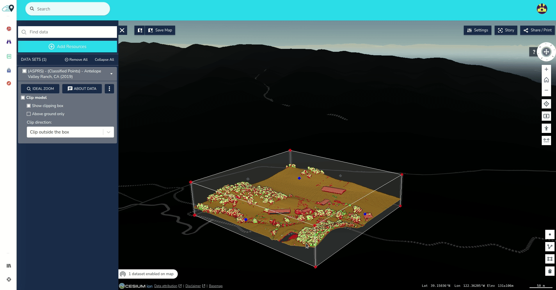
Imagine we’re looking at Jacksonville International Airport in Florida. Using the Discover module in SpatialScale, you draw an area of interest (AOI) around the airport and search for point cloud datasets. Let's use datasets from 2007 and 2018 available in the USGS repository.
- Ingest the Datasets: Bring both the 2007 and 2018 datasets into the platform.
- Navigate to 2018 Dataset: Head over to the 2018 dataset, select ‘Jobs’, and choose ‘Vertical Differencing’.
- Select DSM and Set Parameters: Choose DSM (Digital Surface Model) and set a minimum change distance of 1 meter.
- Name Your Output Dataset: Give your output dataset a memorable name.
- Submit: Hit ‘Submit’ and let the magic happen.
Once the processing is done, you can open the result in the Explore module. Here, you'll see the change detection analysis. Red areas indicate objects present in 2007 but gone in 2018, while blue areas show new additions by 2018. This can reveal fascinating details, like where airplanes were during each LiDAR survey.
Benefits of Using SpatialScale for Change Detection
- Easy Access to Geospatial Data: Quickly ingest and process datasets from various sources.
- Accurate Analysis: Detect even the smallest changes with precise parameters.
- User-Friendly Interface: Navigate and analyze data without a steep learning curve.
- Valuable Insights: Make informed decisions with clear, visualized data changes.
Want to Learn More?
For a detailed guide on vertical differencing, check out our help center article. Dive deeper into how this tool works and enhance your geospatial data analysis skills.
Embrace the future of geospatial data with SpatialScale. Our platform makes it easier than ever to see the world in a new light. Try it out and transform how you view topographic changes.